Source:Chinese Academy of Sciences Headquarters
Summary:A new study shows that the Southern Ocean releases far more carbon dioxide in winter than once thought. By combining laser satellite data with AI analysis, scientists managed to “see” through the polar darkness for the first time. The results reveal a 40% undercount in winter emissions, changing how researchers view the ocean’s carbon balance and its impact on climate models.Share:
FULL STORY

A team of scientists has found that the Southern Ocean emits far more carbon dioxide (CO2) during the lightless Antarctic winter than researchers once believed. According to their new study, this wintertime release of CO2 has been underestimated by as much as 40%.
The research was led by scientists from the Second Institute of Oceanography, Ministry of Natural Resources (SIO-MNR), and the Nanjing Institute of Geography and Limnology (NIGLAS) of the Chinese Academy of Sciences. Their results were published in Science Advances on Nov. 5.
The Ocean’s Role in Earth’s Carbon Balance
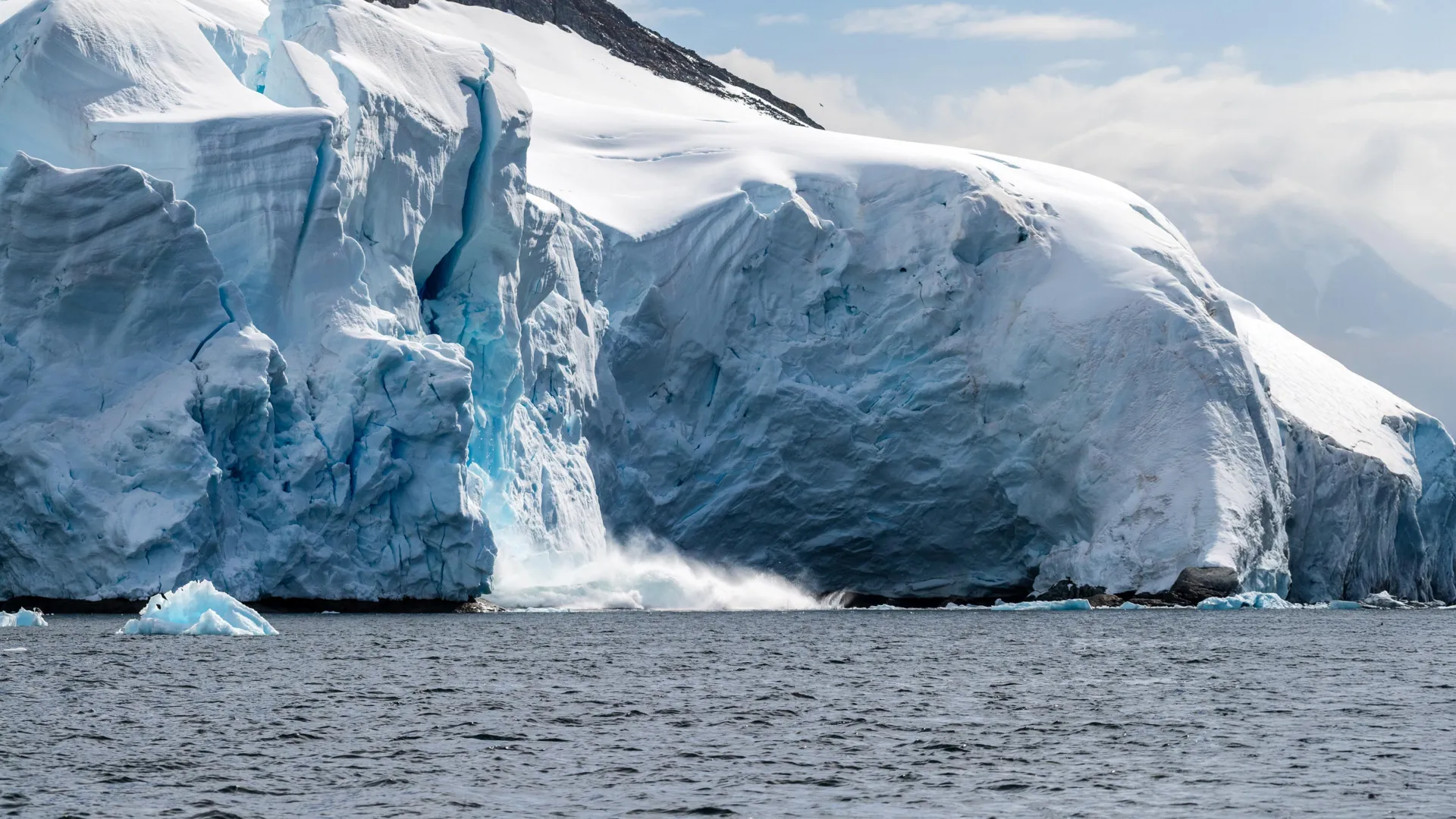
The Southern Ocean is a major regulator of the global carbon cycle, absorbing a large share of the carbon released by human activity. Yet despite its importance, it remains the “largest source of uncertainty” in global CO2 flux calculations.
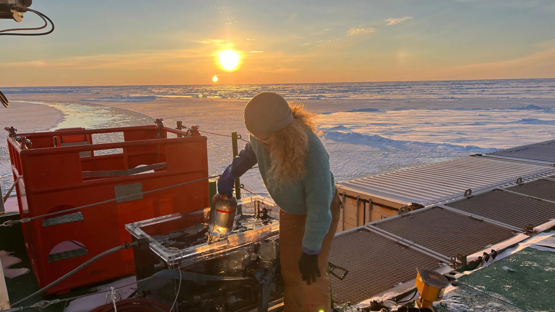
That uncertainty comes from a lack of winter observations. For months each year, the Southern Ocean lies in complete darkness and is lashed by extreme weather, making direct measurement nearly impossible. During this time, the region becomes an “observational black box.” Traditional satellites, which depend on reflected sunlight (passive sensors) to detect ocean properties, cannot collect data under these conditions, leaving scientists reliant on incomplete or estimated models.
Using Lasers to See in the Dark
To overcome this limitation, the researchers used an advanced approach that combined 14 years of data from a laser-based satellite instrument called LIDAR (on the CALIPSO mission) with machine learning analysis.
LIDAR, unlike passive sensors, sends out its own light signals, working similarly to radar but with lasers instead of radio waves. This technology allowed the team to observe the ocean even during the polar night and create the first continuous, observation-based record of winter CO2 exchange in the Southern Ocean.
The results revealed that earlier estimates had missed nearly 40% of the Southern Ocean’s wintertime CO2output. “Our findings suggest that the Southern Ocean’s role in the global carbon cycle is more complex and dynamic than previously known,” said Prof. Kun Shi of NIGLAS.
Rethinking the Ocean’s Carbon Dynamics
Beyond updating the numbers, the study redefines how scientists understand carbon movement in the Southern Ocean. The team introduced a new “three-loop framework” to explain how CO2 exchange varies across different regions.
In the Antarctic Loop (south of 60°S), physical factors such as sea ice and salinity are the main drivers of CO2exchange. In the Polar Front Loop (45°S-60°S), the interaction between atmospheric CO2 and biological activity (chlorophyll) becomes more influential. Meanwhile, in the Subpolar Loop (north of 45°S), sea surface temperature plays the dominant role.
Global Climate Implications
Filling this long-standing data gap could lead to more accurate global carbon budgets, which form the foundation of climate projections used by organizations such as the Intergovernmental Panel on Climate Change (IPCC).
CLICK HERE FOR MORE INFORMATION
https://www.sciencedaily.com/releases/2025/11/251108014024.htm